

Supports the use of semantic annotation to link and explore historical place information
See our Activity Charter here
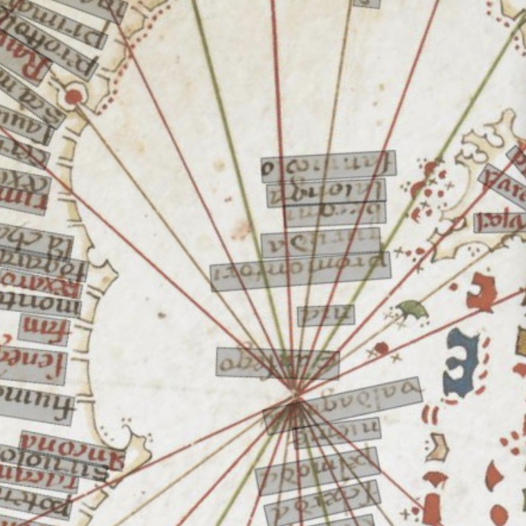
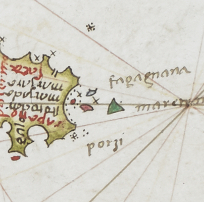
Probably originating in the 13th century, portolan charts (the medieval answer to the modern Admiralty chart) contradict every normal preconception about medieval cartography being inexact - everything is where you would expect it to be. An average chart lists perhaps 2000 ports and harbours, as well as natural features, especially the headlands which served as reference points for sailors.
The project aimed to test the applicability of Recogito within the field of Ottoman studies and to function as a starter towards the ambitious project of compiling an Ottoman gazetteer.

Building open-source software for studying the world’s classical languages and literatures. Alpheios currently supports Latin, Greek, Arabic, Persian and Ancient Ethiopic, with support for other languages, including Ancient Chinese, underway.
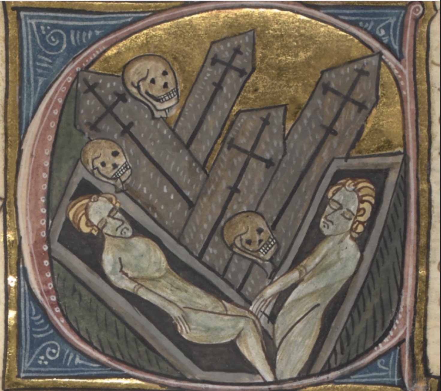
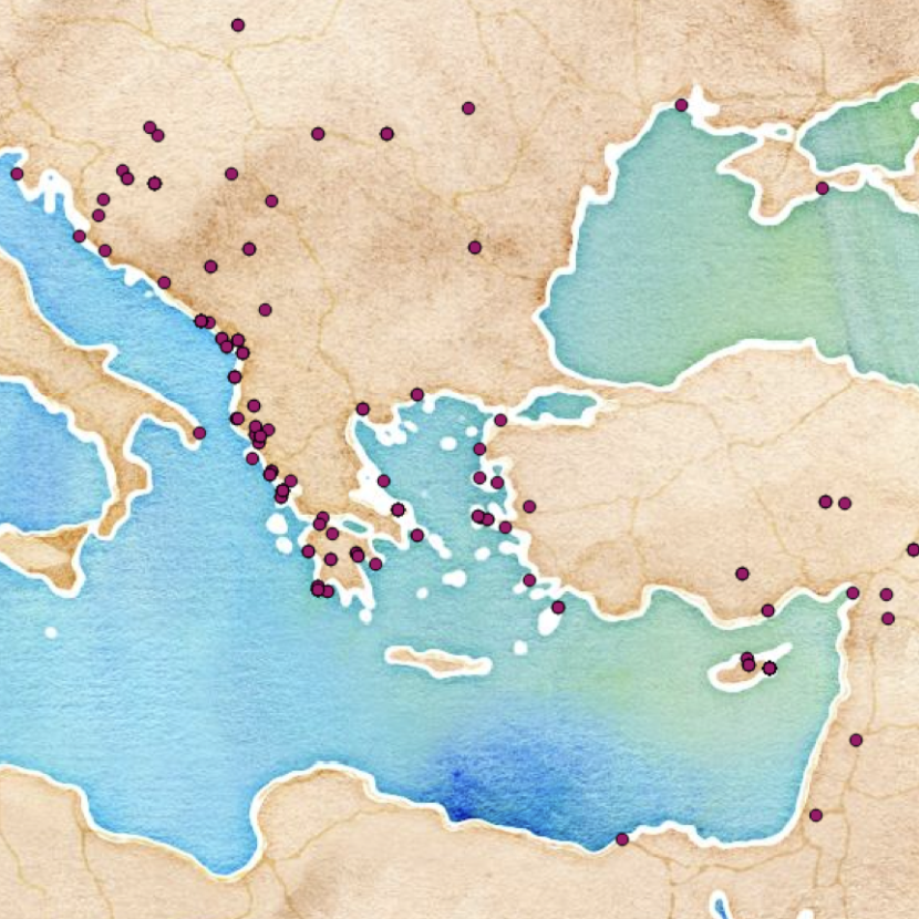
The Black Death Digital Archive (BDDA) is a multidisciplinary portal for researching the Second Plague Pandemic, i.e., outbreaks of plague that started with the mid-fourteenth-century Black Death and their recurrences across Afro-Eurasia during six hundred years, from the 1340s to 1940s.
Revealing the recurrent issues involved in archaeological and historical event modelling as linked data.

Working to define an interoperable system for visualization and annotation of texts and images.

A gazetteer of Roman roads in the Iberian peninsula to support the creation of linked open road datasets.
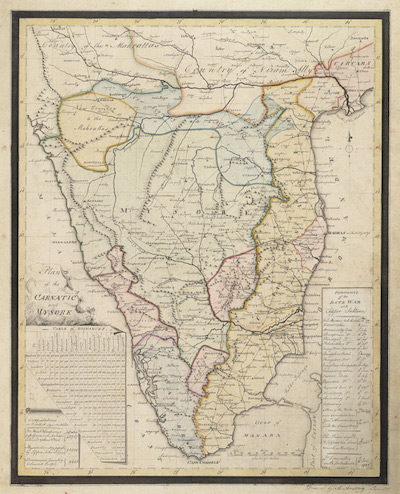
Annotating a corpus of colonial maps generated in the eighteenth, nineteenth and twentieth century.
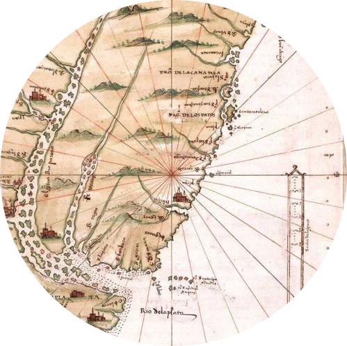
Based at the Centro Argentino de Información Científica y Tecnológica in Buenos Aires, this partnership extends Pelagios methods to explore relationships between 16th and 19th century Spain and Latin America through historical, literary, and cartographic sources.
Based at the University of Exeter, Pelagios 7 supports the establishment of the Pelagios Network, until the end of 2019.

A small company offering software development and consulting services to clients in the humanities. Specialists in tools for textual scholarship, data modeling and management and spatial humanities.
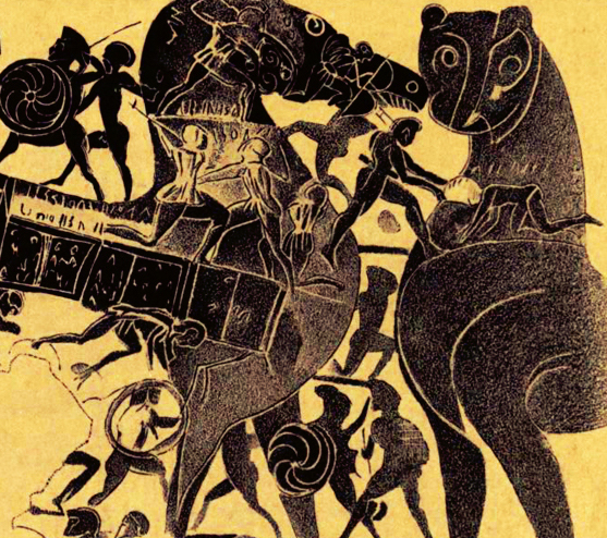
Tracing the places of ancient Greece and the stories associated with them.

A gazetteer of time periods for linking and visualizing data.
Use your data in other tools, or connect to other data on the web, without the need to learn to code.
Improving TEI support in Recogito, with a specific focus on integration issues.
The main goal of Linked Pipes is to semantically model pipelines for LOD related workflows, visualise them in a viewer and share them with the community in a registry.
ogham.link is a Linked Open Data Hub for Ogham Research - including Wikidata - based on various sources such as CIIC, CISP or the Ogham in 3D Project.

The SPARQLing Unicorn QGIS Plugin is a Linked Data Access Point for QGIS. The SPARQL Unicorn allows for queries in (Geo)SPARQL to be sent to selected Triple Stores and prepares the results for the geocommunity in QGIS.
ToposText is an indexed collection of ancient texts and mapped places relevant the the history and mythology of the ancient Greeks from the Neolithic period up through the 2nd century CE.

A project of the World History Center at the University of Pittsburgh, the WHG is developing a spatially and temporally comprehensive database of significant world historical place names.

Connecting specialists to develop Linked Data methodologies for the study of Gandhāran art and Buddhism.
In partnership with Harokopio University and the Institute of Historical Research of the National Hellenic Research Foundation.
A database containing the texts of Latin and bilingual (i.e. Latin-Greek) inscriptions of the Roman Empire.
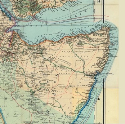
Exposing 18th-20th century geo-historical knowledge of the Horn of Africa into the web of Data.
Working with the German Archaeological Institute to support the creation of semantic geospatial annotations.

The Manar al-Athar Photo-Archive provides high-resolution, searchable, images of archaeological sites and historic buildings from the Middle East and North Africa for teaching, research, and publication..
Exploring the benefits of digital annotation for the analysis of maps produced in sixteenth-century Mexico.