
Supports the development of tools and methods for visualising geospatial information
The purpose of the Visualisation Activity is to support developers and end-users in conceptualising and developing methods and tools for:
For more details, see our Activity Charter here
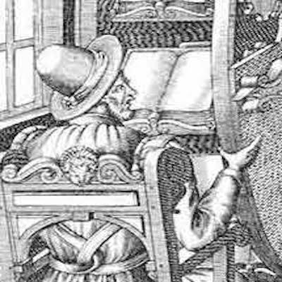
The Lazarus Project is a multispectral imaging collaboration, based out of the University of Rochester. They employ state-of-the-art imaging technology to digitally recover faded, burned or otherwise damaged documents.
Linked Open Data is a powerful tool for navigating through the complexity of the inherently multifaceted reality of archaeological sites, which results from the intersections of space, materiality, language, visual culture, history, text, and so on. However, LOD also poses the challenge of how to manage such complexity in a meaningful way. In this post, Chiara Palladino reports on an experimental project developed during a Classical Archaeology course in 2018 at Furman University, where students researched four different Graeco-Roman sites, with the goal of reconstructing the main aspects of their material history through exclusively LOD-based resources.

In the EviDENce project, researchers at the Royal Netherlands Academy of Arts and Sciences Humanities Cluster’s Digital Humanities Lab work with historians and eScience engineers to investigate how the perception of the concept of ‘violence’ changes over time through eyewitness reports and ego-documents (ego documents are texts in which the personal life and experiences of the author play an important and central role such as diaries, autobiographies and memoirs). In the first year of the project, they focused on transcribed WWII eyewitness interviews and we investigated how suitable state-of-the-art language technology pipelines are for the purposes of extracting relevant information from these interview texts. Read more about the project here
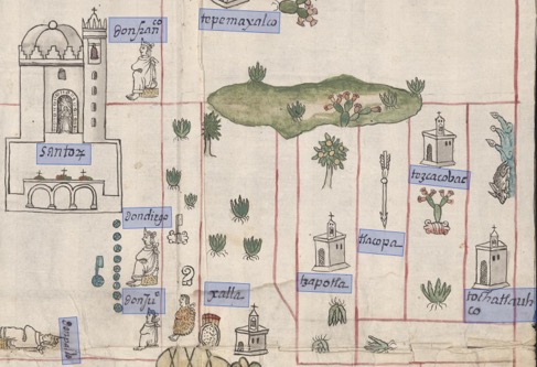
The project ‘Digging into Early Colonial Mexico: A large-scale computational analysis of sixteenth-century historical sources’ (DECM) at the University of Lancaster is developing novel methods and tools for mining data from both textual and pictorial historical records.
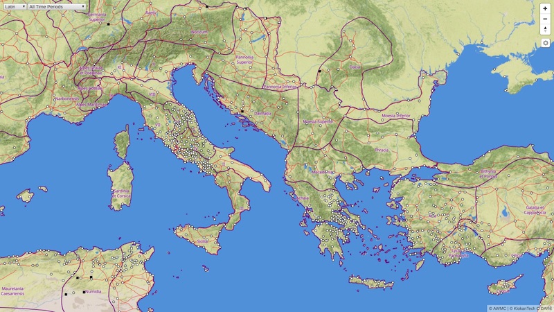
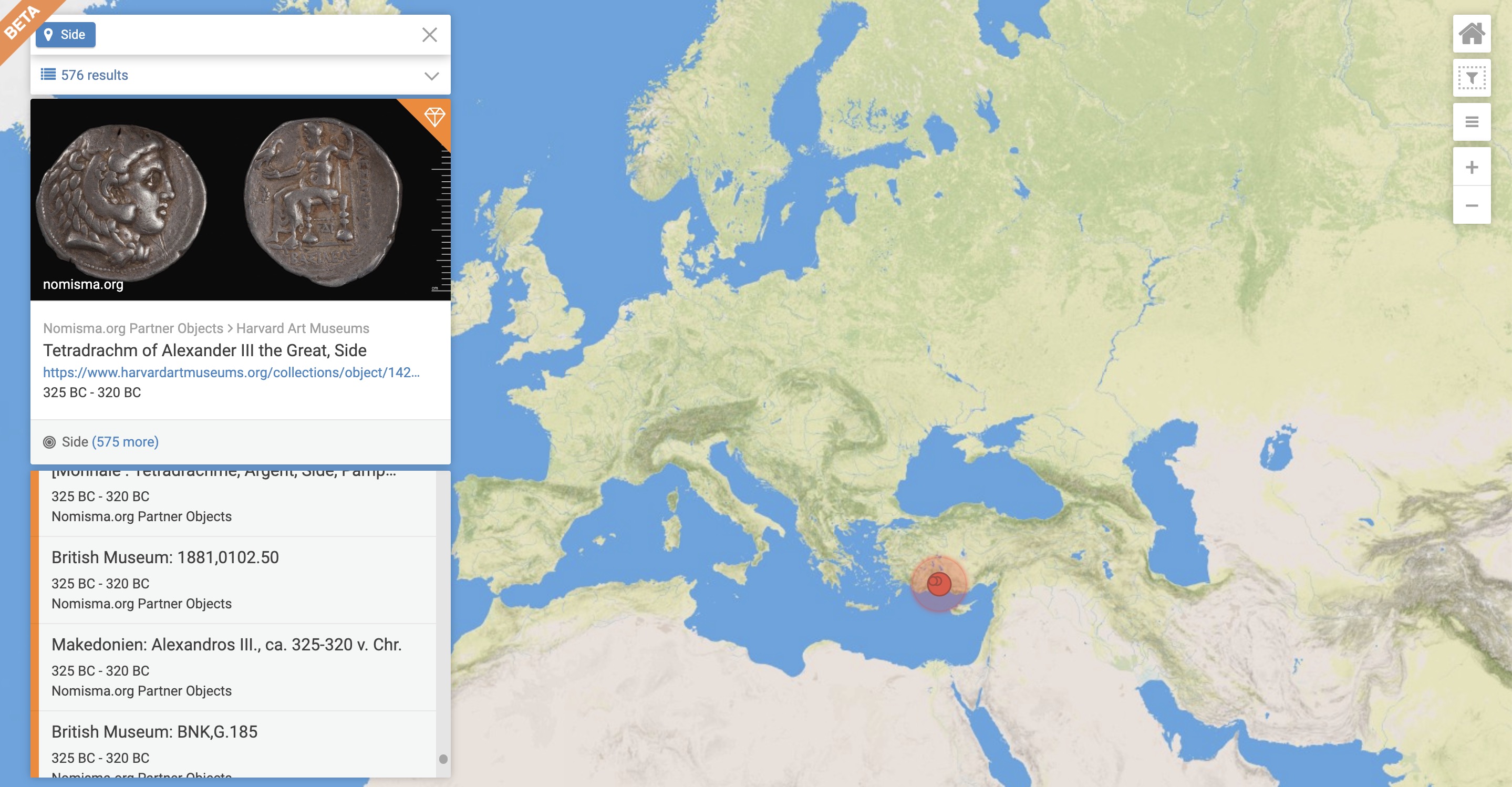
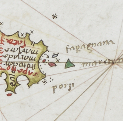
The Roman Empire Vector Map gives people a chance to explore the ancient Mediterranean world as it was during the Roman Empire. They can see much of the road network, discover original place names, and much more with the comfort similar to Google Maps.
Manto is an initiative to model Greek myth and its impact on the Mediterranean.

Building open-source software for studying the world’s classical languages and literatures. Alpheios currently supports Latin, Greek, Arabic, Persian and Ancient Ethiopic, with support for other languages, including Ancient Chinese, underway.
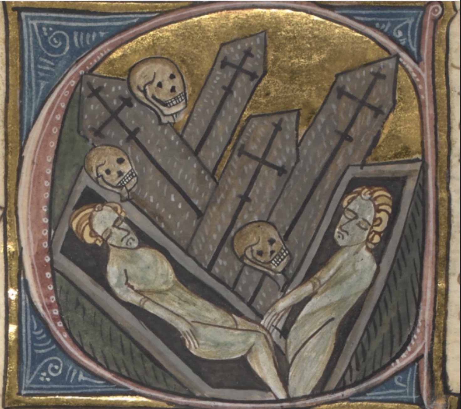
The Black Death Digital Archive (BDDA) is a multidisciplinary portal for researching the Second Plague Pandemic, i.e., outbreaks of plague that started with the mid-fourteenth-century Black Death and their recurrences across Afro-Eurasia during six hundred years, from the 1340s to 1940s.
Revealing the recurrent issues involved in archaeological and historical event modelling as linked data.
Working to define an interoperable system for visualization and annotation of texts and images.
Based at the University of Exeter, Pelagios 7 supports the establishment of the Pelagios Network, until the end of 2019.
Tracing the places of ancient Greece and the stories associated with them.

A gazetteer of time periods for linking and visualizing data.
Use your data in other tools, or connect to other data on the web, without the need to learn to code.
Improving TEI support in Recogito, with a specific focus on integration issues.

The TimeCapsule project is focused on creating a platform that supports interpretative approaches to temporality and chronology in humanistic research and is led by Johanna Drucker at UCLA.
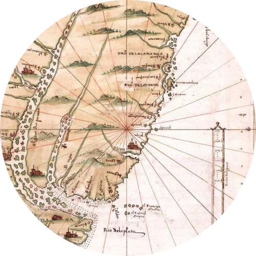
Viae Regiae aims to record the condition and development of highways (both roads and navigable waterways) in England and Wales between 1530 and 1680, the period during which began the network’s transformation from one serving primarily local agricultural markets to one fit for an emerging industrial economy.
In partnership with Harokopio University and the Institute of Historical Research of the National Hellenic Research Foundation.
A database containing the texts of Latin and bilingual (i.e. Latin-Greek) inscriptions of the Roman Empire.
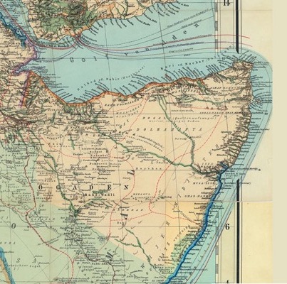
Exposing 18th-20th century geo-historical knowledge of the Horn of Africa into the web of Data.
Working with the German Archaeological Institute to support the creation of semantic geospatial annotations.
Working to extend the Humanities Visualizer to read and display files from Recogito.
Open Context is a data publishing service maintained by the Alexandria Archive Institute
Viabundus is mapping the main transport network of Northern Europe between 1350 and 1650, including towns, trade fairs and toll stations.
Enhancing the ability to visualise LOD on web maps with a time slider and timeline visualisations.