The International Dura-Europos Archive (IDEA) digitally re-integrates dispersed collections and discipline-specific knowledge using Linked Open Data. In collaboration with local Syrian communities, IDEA uses a Wikidata WikiProject to build bridges among ‘islands’ of FAIR data and print resources to recontextualize content. Artefacts once belonging to the same place, which form part of collections as far apart as Paris and New Haven, can now be reunited.
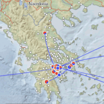
The Digital Periegesis (DP) maps the "deep dive" into the places of and accounts about the ancient Greek mainland by the second-century author, Pausanias. Using the open-source tool, Recogito Studio, the DP has annotated some 4225 places, 1762 objects/artworks, 3882 people/groups, 161 cited ancient texts, and over 1000 events recorded by Pausanias. Using the Nodegoat platform, all these data have URIs, have been linked to external authorities (like Wikidata) where possible, are free to download as csv or geoJSON files, and can be visualised in various in-built maps.
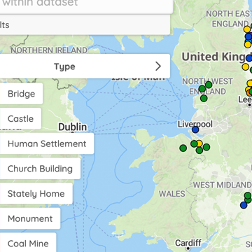
Locating a National Collection, hosted by the British Library, helps cultural heritage organisations to use locations – such as where objects were made and used or the places they depict and describe – to connect diverse collections and to engage researchers and public audiences in new ways. The ability to map the spatial footprint of different collections and enable links to the resources they contain is realised through the open-source mapping software, Peripleo. A browser-based tool for the mapping of things related to place, Peripleo can be hosted (for free) on Github and embedded in other web sites, wikis, and blogs using iFrames.