
Pelagios supports a broad ecosystem of open tools, gazetteers, and reference resources that make it easier to create, enrich, and link historical and heritage data. By being developed and maintained by different Partners, this insures against the risk of dependency on a single point of funding or resource. Equally, by being developed under the aegis of the Network, this helps avoid duplication and better supports interoperability. While being developed independently, they share a common goal: to help people connect information across collections, disciplines, and projects.
The tools and resources listed here represent the core components used across many Pelagios-related projects. Each one uses open standards, shared identifiers, or common vocabularies that enable data to be combined, visualised, or explored in new ways.
A lightweight open-source image annotation library that powers annotation inside many Pelagios projects and external tools. Annotorious is useful for integrating annotation into custom websites or research interfaces.
IMMARKUS is a browser-based, open source environment for semantic image annotation, designed for researchers, digital humanists, and cultural heritage professionals. It offers a multi-image annotation workbench with AI-assisted drawing tools for faster region selection, a lightweight ontology builder, and an interactive, searchable knowledge graph.
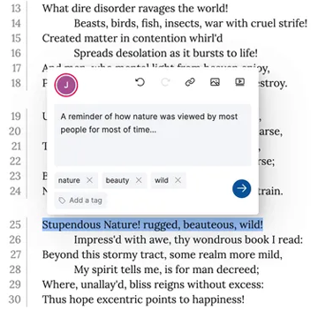
A collaborative platform for annotating texts, images, and PDFs. Recogito Studio links your annotations to shared vocabularies and gazetteers, making place references, people, and other entities easier to analyse and reuse. Recogito Studio is used in classroom projects, digital editions, and archival annotation workflows.
nodegoat is a web-based research environment for the humanities. It allows scholars to store vague dates, historical regions, and is able to create diachronic geographical and social network visualisations. It is particularly useful for managing historical data and analysing changes over time.

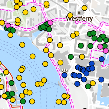
A map-based discovery interface for exploring large cultural heritage collections. Built with MapLibre and a custom backend, it enables smooth, immediate navigation through hundreds of thousands of geo-located objects.
A JavaScript library for exploring linked data visually. Peripleo can map spatial footprints of collection data, show relationships between entities, or surface patterns within large datasets. Peripleo is often used to create browsable interfaces for heritage collections or research corpora.
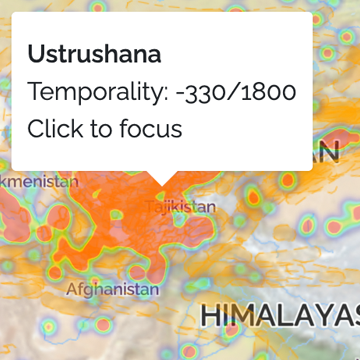
A community-curated gazetteer of period definitions from archaeology, art history, and related disciplines. PeriodO assigns stable identifiers to scholarly period definitions, allowing researchers to reference time periods in a structured, comparable way. PeriodO supports chronological alignment across datasets using different period systems.
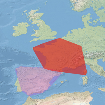
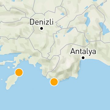
A comprehensive gazetteer of ancient places, widely used across Pelagios-related projects. Pleiades provides stable identifiers for places in the Greek, Roman, and ancient Mediterranean worlds.
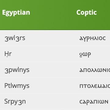
A set of reference databases for people, places, and texts in the ancient world. Often used to enrich or cross-reference linked data projects involving documentary sources.
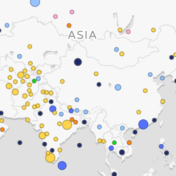
A growing index of historical place data contributed by projects around the world. WHG aggregates and reconciles place names, helping researchers link their own data to shared geographic identifiers. The WHG is useful for mapping historical datasets or aligning places across projects.
Most Pelagios projects combine several of these components:
This approach makes it easier for researchers, developers, and heritage professionals to build on each other's work, align data models, and create reusable datasets.
The Pelagios network is open and collaborative. If your project develops a tool, dataset, or vocabulary that aligns with our principles of openness and interoperability, we welcome you to share it with the community.
→ Get in touch with the Interest Groups or Pelagios Officers to propose additions.